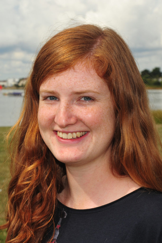
Dr Ruth Amney
I work as Head of Programmes of Space Hub Yorkshire and SENSE Earth Observation CDT Centre Manager.
Research interests
Previously in my PhD and postdoc I investigated earthquakes and active tectonics using satellite data. My postdoctoral research focussed on Earth Observation and seismic hazard in Tien Shan, Central Asia (particularly Kazakhstan, Kyrgyzstan). Many cities around the world are potentially at earthquake risk from buried faults that have been hidden by the expansion of the city. Whilst the hazard and risk due to larger faults is often more widely appreciated, these smaller, subtle faults may potentially be more damaging due to their proximity to the cities, even if the earthquakes that occur on them are much smaller. In my research, we used high resolution optical satellite data (Pleiades, SPOT) to make elevation models (DEMs) across Almaty, Kazakhstan and Bishkek, Kyrgyzstan, to identify subtle faults from small changes in the heights of the surface. Working with the Global Earthquake Model and the OpenQuake engine I modelled the hazard (ground shaking) and risk (damage, fatalities, economic cost) that would be associated with different earthquake scenarios. I undertook fieldwork in Kazakhstan and Kyrgyzstan to map faults in the field to verify the DEMs, and have hosted PhD students from the Bishkek Institute of Seismology, Kyrgyzstan at Leeds. With this I created training material to teach the use of OpenQuake.
In my PhD research I have worked on improving earthquake slip inversion methods using InSAR and GPS data (download here – The Fractal Nature of Fault Slip and Its Incorporation into Earthquake Slip Inversions). After large, continental earthquakes distributed slip inversions are frequently performed to model the magnitude and local of slip that occurs at depth on the fault plane. These inversions are frequently regularised, most often by smoothing, but this smoothing does not necessarily reflect the physical nature of faulting. Due to the evidence that suggestions many features of earthquakes and faulting, including fault slip, shows fractal properties we incorporate this self-similarity into earthquake slip inversions through von Karman smoothing, using Bayesian methods. I have also quantified fault surface roughness in the Italian Apennines by mapping fault surfaces using terrestrial laser scanner. I am also interested in co-seismic landsliding and my masters thesis focussed on whether we could use landslides in the Tien Shan, Central Asia, as palaeoseismic indicators.ork as Head
Software
Download slipBERI – a Bayesian slip inversion code incorporating fractal properties through the von Karman correlation
Invited conference talks:
- ‘A Fractal Future for Earthquake Slip Inversions‘, R.M.J. Amey, A. Hooper, R. Walters, Y. Morishita, Oral presentation at AGU, Washington DC, Dec 2018
Current projects:
- UKSA Space Hub Yorkshire (2020 – Present)
- ESA Polar+ Ice Shelves (Project Manager, 2020 – 2022)
Science communication and outreach:
- I am a STEM Ambassador
- Created a satellite-themed escape room. a STEM home-schooling activity aimed at KS2 children (7-11)
- Host of a earthquake hazard video designed to be used as a teaching aid to help improve knowledge about earthquakes and faulting, particularly in central Asia, through the Parsquake project
- Education Outreach Fellow for the School of Earth and Environment (2015-2017)
I have driven the improvement of Equality, Diversity and Inclusion best practices in PhD recruitment, please read our best practices document here. During the covid-19 lockdown I created a satellite-themed escape room, a STEM home-schooling activity aimed at KS2 children (7-11). I also sit on the School of Earth and Environment Equality and Inclusion committee. I also help look after the School of Earth and Environment honey bees.
Qualifications
- PRINCE2® Foundation Certificate in Project Management (2021)
- PhD, University of Leeds (2014-2018)
- MEarthSci, Earth Sciences, University of Oxford (2010-2014)
Student education
Undergraduate practical demonstrating:
- Inverse Theory – 4th Year Geophysics
- Active Tectonics – 3rd Year Geology
- Tectonophysics – 2nd Year Geology
- Remote Sensing – 2nd Year Geology
Fieldtrips:
- Malham Geophysics Fieldschool – 1st Year Geophysics
Research groups and institutes
- Institute of Geophysics and Tectonics

